TRAIL MAP

Moderate Difficulty

Distance

Elevation gain

Duration

How to get there
![]()
![]()
![]()
HOW TO GET THERE
From downtown Bariloche:
Bus: In summer season there is a minibus transfer to Pampa Linda which takes roughly 2 hs. Reservation required.
By car: 85 km. total. Take route 40 towards El Bolsón, soon after Villa Mascardi at 36 km., there is a right turn off onto a gravel road. Another couple of hundred meters and you are at the Park Rangers Office “Mascardi”, where is the paid entrance fee to the National Park. From here there are 50 km. to Pampa Linda.
The road between Los Rápidos and Pampa Linda has timetables of restricted one direction:
- One way up: from 10:30 to 14 hs. from Los Rápidos.
- One way down: from 16 to 18 hs. from Pampa Linda.
- Two way road: from 19:30 to 9 hs.
- From 14 to 19:30 hs you cannot head towards Pampa Linda.
![]()
![]()
![]()
![]()
![]()
![]()
![]()
SERVICES
Agostino Rocca Hut – Reservation is mandatory at the mountain hut, and it is not allowed to camp next to it.
www.refugiorocca.com
IN PAMPA LINDA
Los Vuriloche Campground – Open all year round
https://campingvuriloches.com.ar/
Hosteria Pampa Linda – Open all year round.
http://www.hosteriapampalinda.com
Albergue Pampa Linda – Open only during summer
www.alberguepampalinda.com
- Bear in mind when planning your outing the time of the year and daylight hours.
- The rain in this area can really make the hiking a lot harder due to all the mud and very slippery.
![]()
![]()
![]()
DESCRIPTION
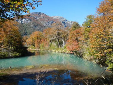
The trail starts next to the Park Rangers Office in Pampa Linda. The first 3 km. are almost flat, you’ll arrive at the Castaño Overa bridge. The trail continues up a 4×4 road and is well marked, 800 mts. ahead there is a sign showing the turn off to Agostino Rocca Hut, “Paso de las Nubes”. Another 700 mts. and you reach the Alerces river which you border along for around 5 km. where there is a bridge to cross.
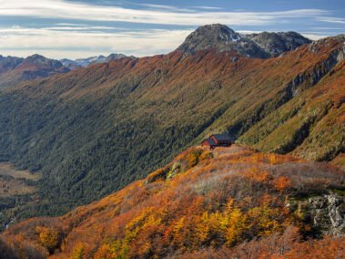
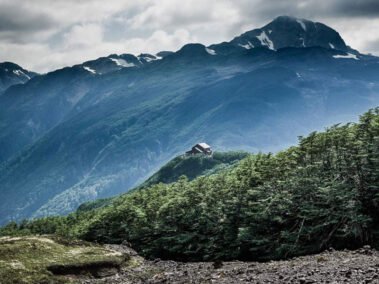
From here the trail contours round a big marshland area on the left side, and soon after starts to gain elevation with some switchbacks towards the top. It continues up crossing some rocky creeks, and marshy areas until you arrive at a big open grass area which may be very wet or covered with snow early in the season. From here you should be able to see the Agostino Rocca Hut up above. Cross the marshland and follow the markings going left and in 5 minutes you are at the hut.
The trail down to Pampa Linda is the same one or you may continue on to Lake Frias and Puerto Blest along the “Paso de las Nubes” (“Clouds pass”). You can also connect with a trail going to Ilón lagoon.
To improve the trekking experience, it is recommended to contact a Mountain Guide authorized by the AAGM (Argentine Association of Mountain Guides)


