TRAIL MAP

Low Difficulty

Distance

Elevation gain

Duration

How to get there
![]()
![]()
HOW TO GET THERE
From downtown Bariloche:
Bus: Line 20, descend at Puerto Pañuelo, Llao Llao.
SUBE card needed to pay bus fare. Check timetable.
Turisur, a travel agent, offers the transfer to the Port.
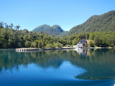
Navigation from Puerto Pañuelo to Puerto Blest, then a short bus ride (3km.) with the same company Turisur to Puerto Alegre, where another boat will cross the Frias Lake to Puerto Frias.
The entrance fee to the National Park and the boarding fee must be paid at the port prior to boarding.
![]()
![]()
![]()
![]()
![]()
![]()
SERVICES
Turisur
www.turisur.com.ar
Navigation on Lake Nahuel Huapi and Lake Frias.
This is the only company which has a concession to navigate from Puerto Pañuelo (Llao Llao) to Puerto Blest with a daily service.
For this part of the navigation you may hire a private service, though you must make sure that the company is licensed in the National Park.
- Rainy season or snowfall can make the trail way more difficult with snow, mud and very slippery.
- Have always in mind the catamaran departure time.
![]()
![]()
![]()
DESCRIPTION
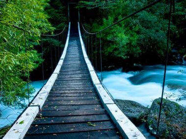
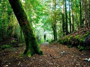
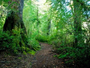
This 3 km. trail is called “National Parks” and joins Puerto Blest to the trail up to Los Cántaros lake. It is very well marked and allows one to go deep into the rainforest called “Valdivian Forest”. There is a hanging bridge and many creek crossings on the way, with a great view of the whole Puerto Blest bay.
Pay attention to the catamaran timetables to head back to Bariloche.
To improve the trekking experience, it is recommended to contact a Mountain Guide authorized by the AAGM (Argentine Association of Mountain Guides)
TREKKING REGISTRATON IS NOT REQUIRED


